
Lower Mississippi Trip
Apr 28 - May 9, 2022
May 7, 2022 Greenville, Mississippi
I am staying onboard today to catch up on my journaling.
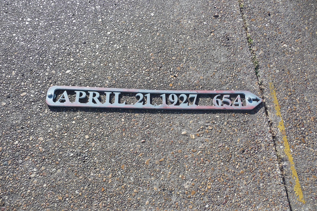
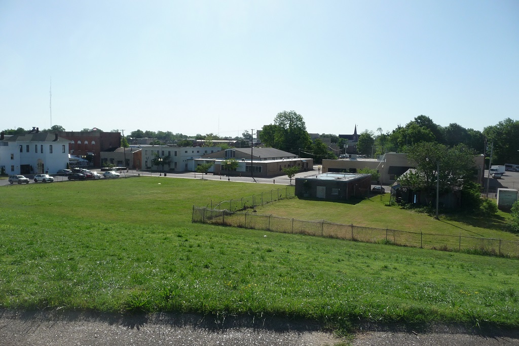
(Al) Went up to the top deck this morning to check out the town, not much to see. Went ashore and climbed to the top of the levee, hoping to see more - didn't happen. The face of the levee had some metal plates indicating flood level during certain years.
After lunch I went ashore again and hopped on the motor coach for a trip around town. We were back at the boat in 20 minutes! Big attraction seemed to be a museum to the 1927 flood. It's in a building the size of a 1 car garage. Big excitement for the day was a barge coming alongside, probably pumping on fuel and taking off used coffee.
On the plus side, Greenville is the county seat (of an agricultural county) and has it's share of government buildings. A part of the levee was being used as a ramp for launching boats, which was quite active. Up until this point we had seen very little recreational boating on the river. Near our docking point was a casino, with a yacht club just beyond that.
I think this is a good point to say something about flood levels on the river. This concerns boaters for both depth of water and clearance under bridges. One chart I looked at gave a particular bridge clearance as being 130' minus the gage level at Greenville. There seem to be more than a dozen gage stations between New Orleans and Memphis, and flood levels are reported in feet above 'Gage 0' at each station. Also of interest is that the 'Gage 0' datums change as you go up river. 'Gage 0' datum is 0' at New Orleans, increasing to 17.28' at Natchez, 46.22' at Vicksburg, 74.92' at Greenville, and 183.91' at Memphis. I think these are actual topographic elevations above something, but I could be wrong.
![]()
![]()